

TRISHNA Satellite: India–France Space Cooperation

TRISHNA Satellite: India–France Space Cooperation
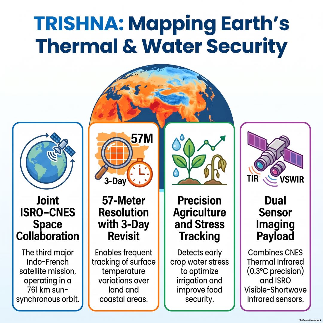
Mission Overview
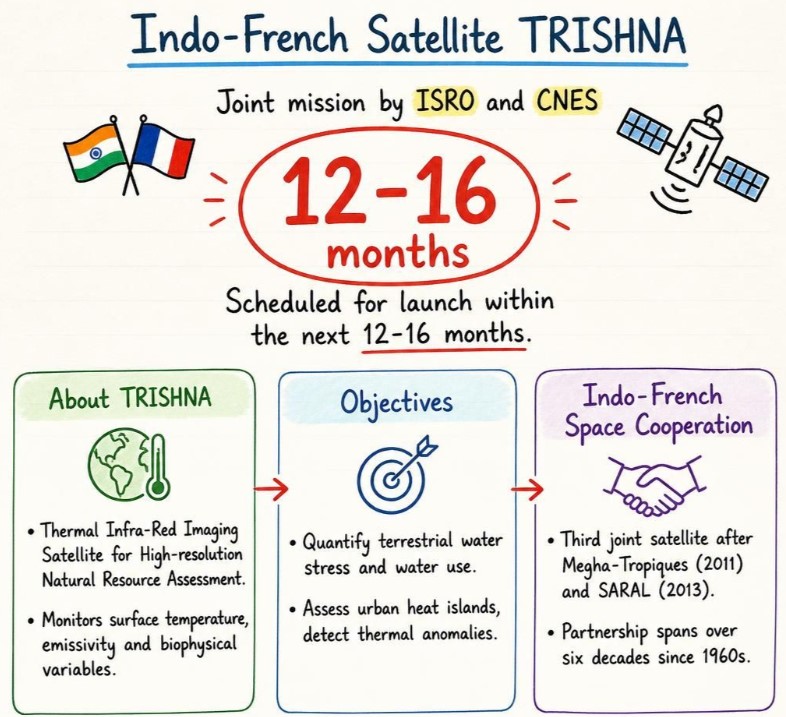
- TRISHNA stands for Thermal Infra-Red Imaging Satellite for High-resolution Natural Resource Assessment.
- It is a joint mission of the Indian Space Research Organisation (ISRO) and the French space agency, Centre National d’Études Spatiales (CNES).
- It is the third major collaborative satellite mission between India and France, following Megha-Tropiques (2011) and SARAL (2013).
- The mission has been under conceptualisation and formalisation for approximately a decade and is now entering its realisation phase.
- According to the reported announcement, the satellite is expected to launch within 12–16 months.
- The U.R. Rao Satellite Centre (URSC), a key ISRO facility, is responsible for satellite design, development and integration.
Key Objectives and Applications
- Water cycle and water security: Monitors the energy and water budgets of the continental biosphere, terrestrial water stress, evapotranspiration and water use.
- Agriculture: Measures land-surface temperature to identify crop water stress before visible symptoms emerge, supporting precision irrigation and climate-smart agriculture.
- Urban heat islands: Maps temperature differences between urban and rural areas to support urban planning and heat mitigation.
- Glaciers and snowmelt: Monitors glacier dynamics and snowmelt runoff, improving understanding of changes in water availability.
- Thermal anomalies: Helps identify unusual surface-temperature patterns for environmental monitoring and potential disaster-risk assessment.
- Surface energy budgeting: Measures surface temperature, emissivity and biophysical variables to improve understanding of interactions between land, water and the atmosphere.
- The mission can support water-resource management, food security, climate adaptation and sustainable development.
Technical Specifications
|
Feature |
Details |
|
Orbit |
Sun-synchronous orbit at a reported altitude of 761 km |
|
Revisit time |
Approximately every 3 days at the equator |
|
Spatial resolution |
Approximately 57 metres over land and coastal areas; around 1 km over oceans, as reported in the supplied material |
|
Mission life |
Planned 5 years |
|
Launch vehicle |
PSLV, as reported in the supplied material |
|
Launch site |
Satish Dhawan Space Centre, Sriharikota |
|
Equator-crossing time |
Approximately 12:30 PM local time, timed to observe daytime thermal conditions |
The high-repeat observation capability will allow scientists to track changes in surface temperature and vegetation conditions over relatively short intervals. The technical specifications should be verified against final ISRO–CNES mission documentation as the launch approaches.
Scientific Payloads
- Thermal Infrared (TIR) payload — CNES: Measures land-surface temperature and emissivity to assess thermal patterns, water stress and surface-energy exchanges. The supplied material reports temperature-measurement precision of up to 0.3°C.
- Visible–Near Infrared and Short-Wave Infrared (VNIR–SWIR) payload — ISRO: Observes vegetation health and other biophysical variables, complementing thermal measurements with information about land-surface conditions.
- The combined observations will help scientists assess relationships among temperature, vegetation, water availability and ecosystem functioning.
Earlier Indo-French Satellite Missions
- Megha-Tropiques (2011): A joint ISRO–CNES mission to study the water cycle and energy exchanges in the tropical atmosphere.
- SARAL (2013): Stands for Satellite with ARGOS and ALTIKA. It supports oceanographic studies, particularly sea-surface height measurement and ocean circulation.
- TRISHNA: Extends this cooperation towards high-resolution thermal observation of land surfaces and natural-resource assessment.
Significance for India and France
- Strengthens more than six decades of Indo-French space cooperation, which began with sounding-rocket activities in the 1960s.
- Supports precision agriculture by helping optimise irrigation and identify crop stress, potentially reducing water wastage.
- Improves water-resource planning through observations of evapotranspiration, terrestrial water stress and glacier-related changes.
- Helps urban authorities understand heat islands and plan heat-mitigation measures.
- Supports climate research, ecosystem monitoring and disaster-risk assessment through repeated thermal observations.
- Contributes to the objectives of Sustainable Development Goal 6 (Clean Water and Sanitation) and SDG 13 (Climate Action).